
Blank Map of Europe
Preview the outline, customize available layers and download print-ready formats.
FREE DOWNLOADS · PRINTABLE MAP COLLECTION Choose a map style and export scalable SVG or high-resolution PNG, or print to PDF. Simplified reference outline from Natural Earth. Fine details, small islands and contested borders may be omitted; not for legal boundaries or navigation. Choose Country borders for individual countries, Countries labeled for a labeled reference, or Selected cities for a geographically located starter selection. These are 4 labeled city markers and 39 country/territory polygons in this bundled reference map. This is not an exhaustive current-country or city database. Click a style above to change the map preview. SVG stays editable; PDF links switch to the selected style when supported. Country-by-country editing uses bundled CountryInfo geometry (MIT license, vintage not independently verified). Some islands and subdivisions may be missing. This is not an official political-boundary map. Color countries individually where detailed polygons are available, zoom in or out, drag to pan, and export your personalized map. Open editor to load this map. Geographic source: Natural Earth (public domain). These are generalized small-scale outlines.Europe Map Designer

Europe: country boundaries and selected cities
Full list of mapped country/territory names (39)
Browse included city reference coordinates (24 matches)
City Country Latitude Longitude Radius map London United Kingdom 51.5074 -0.1278 Open radius Manchester United Kingdom 53.4808 -2.2426 Open radius Birmingham United Kingdom 52.4862 -1.8904 Open radius Paris France 48.8566 2.3522 Open radius Lyon France 45.7640 4.8357 Open radius Berlin Germany 52.5200 13.4050 Open radius Munich Germany 48.1351 11.5820 Open radius Madrid Spain 40.4168 -3.7038 Open radius Barcelona Spain 41.3874 2.1686 Open radius Rome Italy 41.9028 12.4964 Open radius Milan Italy 45.4642 9.1900 Open radius Amsterdam Netherlands 52.3676 4.9041 Open radius Lisbon Portugal 38.7223 -9.1393 Open radius Dublin Ireland 53.3498 -6.2603 Open radius Athens Greece 37.9838 23.7275 Open radius Vienna Austria 48.2082 16.3738 Open radius Prague Czechia 50.0755 14.4378 Open radius Warsaw Poland 52.2297 21.0122 Open radius Stockholm Sweden 59.3293 18.0686 Open radius Oslo Norway 59.9139 10.7522 Open radius Copenhagen Denmark 55.6761 12.5683 Open radius Helsinki Finland 60.1699 24.9384 Open radius Zurich Switzerland 47.3769 8.5417 Open radius Moscow Russia 55.7558 37.6173 Open radius Interactive Map Editor
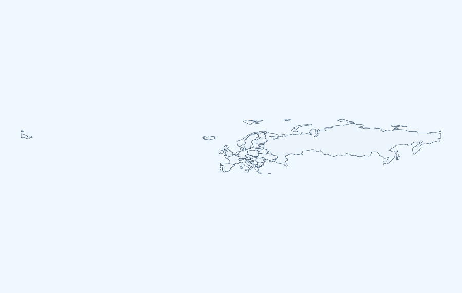
Geographic coverage in the preview
This Europe overview is a simplified reference map and does not depict full internal subdivisions, all islands or internationally sensitive boundaries. Regional definitions differ between atlases, especially for transcontinental countries and overseas territories. For labeling exercises, decide whether to include dependent territories before distributing a worksheet.
Choose a printable map style
- Outline: Use the uncluttered contour for blank-label quizzes about Europe.
- Labeled: Use the preview as a starting reference, then verify which labels the actual SVG includes.
- Color: Use a filled polygon as a visual cut-out, poster background or study aid.
- Transparent: Place the isolated outline on a worksheet or slide without an opaque white fill.
Classroom activities and answer-checking
- Identification: Label the main outline of Europe before viewing any geographic reference.
- Directions: Mark north, south, east and west; check which map projection you are using.
- Map-reading: Add a scale warning and explain why map area or distances cannot be read from page pixels.
- Self-check: Compare student responses with an atlas or official government map. This page does not pretend to provide a verified answer-key PDF.
Download, print and projection
Choose the available SVG style, print using landscape page orientation when appropriate, and select fit-to-page without stretching the aspect ratio. Exporting an SVG into PDF from the browser is not the same as a cartographer-certified print projection. Check preview edges for cropped islands and cut-off labels before printing.
What is included with this Blank Map Of Europe?
This edition gives you a printable europe outline based on Natural Earth, low-resolution public-domain country boundaries (bundled dataset; vintage not guaranteed current). Choose a map design to match your assignment, and verify boundaries if your work needs an official current map.
Direct file downloads for Blank Map Of Europe
- Outline SVG outline: vector edges for editing or high-resolution printing.
- Labeled SVG outline: vector edges for editing or high-resolution printing.
- Colored SVG outline: vector edges for editing or high-resolution printing.
- Transparent SVG outline: vector edges for editing or high-resolution printing.
- A4 PDF, ready to print.
- US Letter PDF, ready to print.
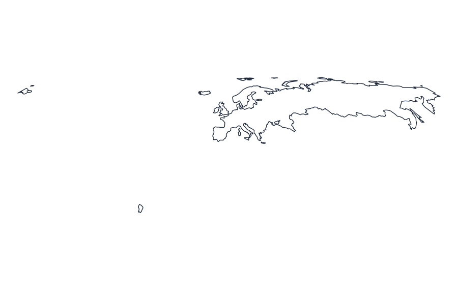
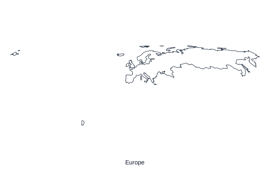

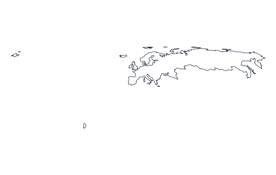
What does this regional outline omit?
The bundled scale generalizes coastlines and may drop small islands or subdivisions. If you need labels for individual countries or selected cities, use the country-border, country-name and city-overlay map downloads when available. Labels and city positions cover only the supplied source dataset, not every settlement or disputed border.
Source year, projection and permissions
The source description supplied with this map is Natural Earth, low-resolution public-domain country boundaries (bundled dataset; vintage not guaranteed current). Projection metadata: +proj=eqearth +lon_0=0 +datum=WGS84 +units=m +no_defs. Boundary vintage has not been independently certified in this release. For context see Natural Earth and US Census TIGER/Line. Use a newer authoritative dataset for legal or administrative decisions.
10 questions about Europe
Questions based on search intent and competitor topics; not a verified Google People Also Ask feed.
Where can I get a blank map of Europe?
The Europe page is organized around an outline-map preview and downloads. The bundled map includes an SVG asset; check the chosen variant before printing.
Is the blank Europe map free to download?
The site provides its bundled simplified Europe outlines without a subscription. Check the source and licensing notes, especially if reusing data from a third-party map layer.
Can I download a PDF map of Europe?
Where a prepared Europe PDF exists, choose A4 or US Letter. A browser Print / Save PDF action is different from a dedicated downloadable PDF file; only displayed direct-download buttons represent bundled files.
What is the difference between outline and labeled Europe maps?
An outline emphasizes geographical shape. A labeled reference adds names only when label data are actually included; a plain Europe outline should not be assumed to show names or internal boundaries.
Can I color individual regions on the Europe map?
Only boundaries provided as separate SVG paths can be filled independently. A single exterior shape for Europe can be recolored as a whole but does not contain editable administrative subdivisions.
Can I use a Europe map for classroom geography worksheets?
Yes, for classroom practice: trace the outline, label known places, compare regions and check names against a current atlas. Do not treat simplified outlines as official legal boundaries.
How do I print the Europe outline on A4 or US Letter?
Select the relevant paper-sized PDF where provided. Use landscape or portrait according to the image shape, fit to page, and inspect the preview before printing.
Does the Europe map include cities, rivers and internal borders?
Not necessarily. Only layers explicitly listed in the map editor are present. Generalized Natural Earth outlines do not automatically supply verified city, river or administrative-border layers.
How accurate is the outline of Europe?
It is a simplified reference map based on geographic source data. Small islands, disputed boundaries and fine coastline details may be generalized; compare it with current authoritative data when precision matters.
Can I edit the Europe map as a vector image?
An available SVG is editable in common vector tools. The site may also provide browser coloring for included paths; zoom and editing should be tested on the actual device before relying on an export.
Accuracy note: Check the data source, method, and limitations before relying on any geographic result.