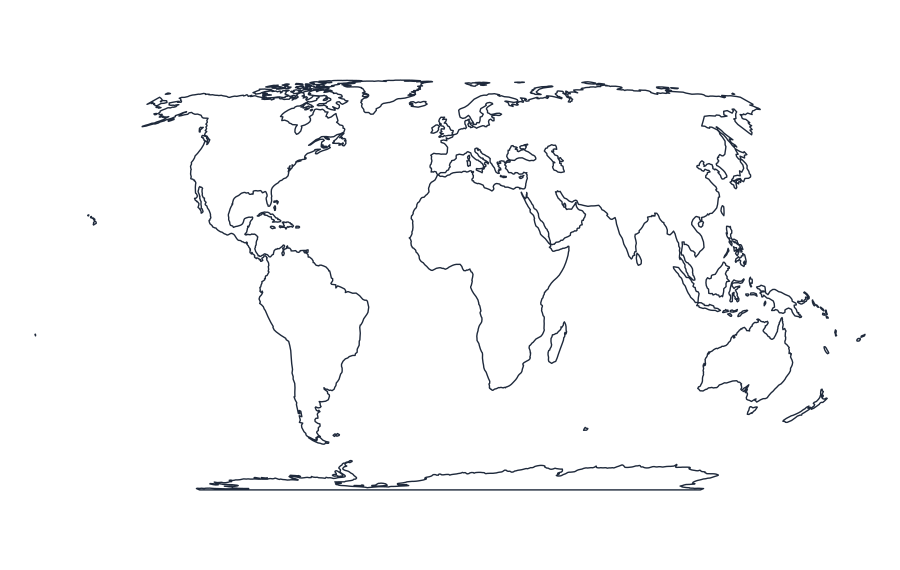
Blank Map of World
Download a simplified printable outline of World for educational projects, worksheets or visual planning. Choose a style and export an SVG or PNG, or print a PDF.
FREE DOWNLOADS · PRINTABLE MAP COLLECTION
World Map Designer
Choose a map style and export scalable SVG or high-resolution PNG, or print to PDF.
Simplified reference outline from Natural Earth. Fine details, small islands and contested borders may be omitted; not for legal boundaries or navigation.
Interactive Map Editor
Color countries individually where detailed polygons are available, zoom in or out, drag to pan, and export your personalized map.
Open editor to load this map.
Geographic source: Natural Earth (public domain). These are generalized small-scale outlines.
Available map styles
Switch between outline, labeled, colored and transparent SVG previews. Depending on geography, the labels and line details may be generalized or limited.
How to download and print
- Select your preferred outline style.
- Choose SVG for scalable editing or PNG for a raster download.
- Use Print / Save PDF to select paper size and orientation in your browser.
Map source and accuracy
Source: Natural Earth, public-domain generalized low-resolution boundaries. This preview does not provide complete current administrative subdivisions, detailed coastlines or legally authoritative disputed-boundary information. Check the appropriate official sources for your intended use.
Common questions
Can I use this map for geography practice?
Yes. It is suitable for many basic labeling and visual-learning activities, with the above simplification caveats.
Can I print this blank map?
Yes. Use the Print / Save PDF button and choose the paper size in your browser.