
PRINTABLE COLLECTION
Blank maps, ready to download.
Choose a place, preview its map, and export SVG or PNG. Use your browser's print dialog for PDF. The current collection uses generalized low-resolution boundaries.
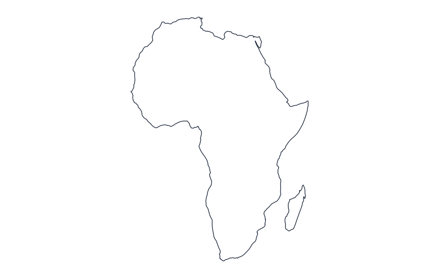 AfricaOutline · SVG · PNG · Print
 ArgentinaOutline · SVG · PNG · Print
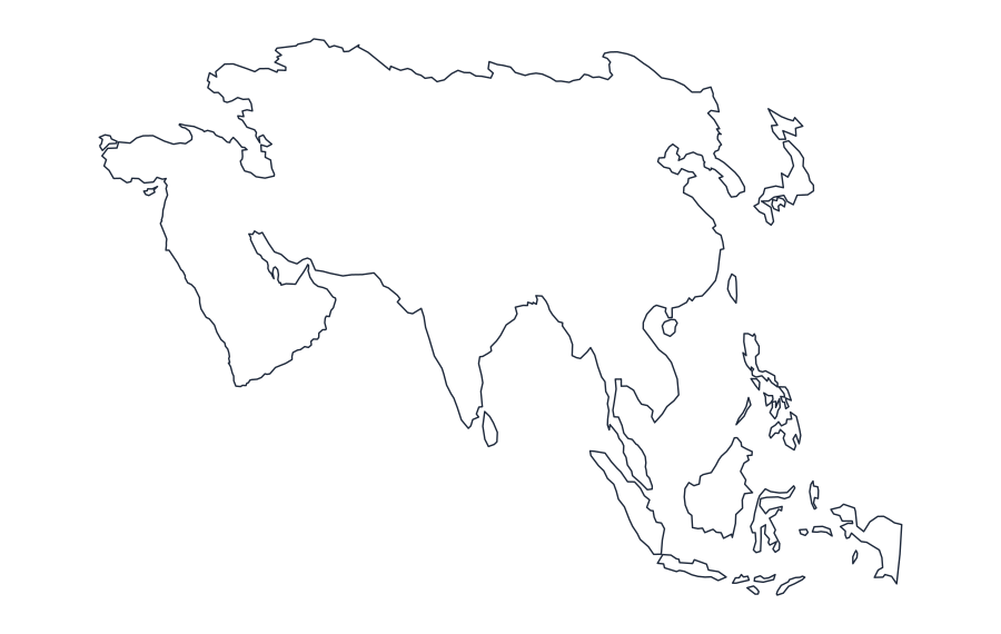 AsiaOutline · SVG · PNG · Print
 AustraliaOutline · SVG · PNG · Print
 AustriaOutline · SVG · PNG · Print
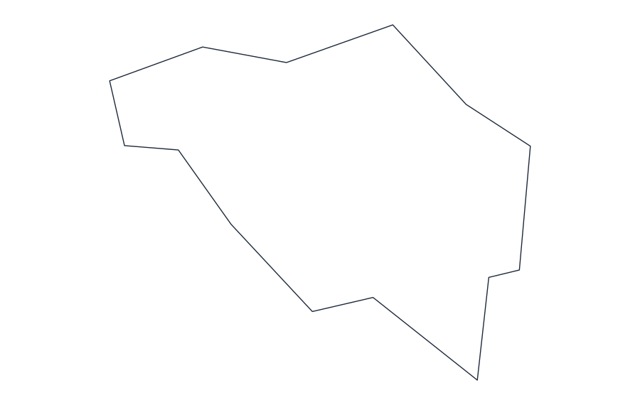 BelgiumOutline · SVG · PNG · Print
 BrazilOutline · SVG · PNG · Print
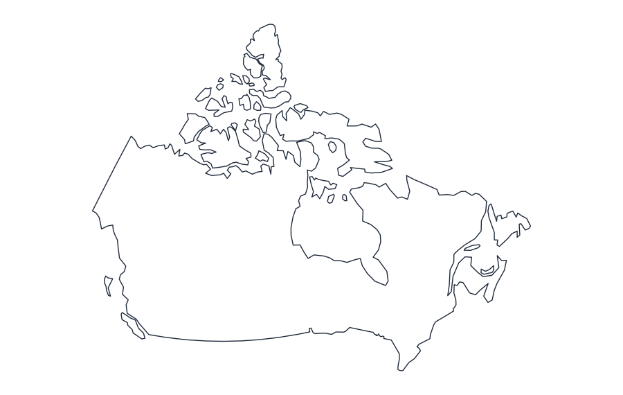 CanadaOutline · SVG · PNG · Print
 ChileOutline · SVG · PNG · Print
 ChinaOutline · SVG · PNG · Print
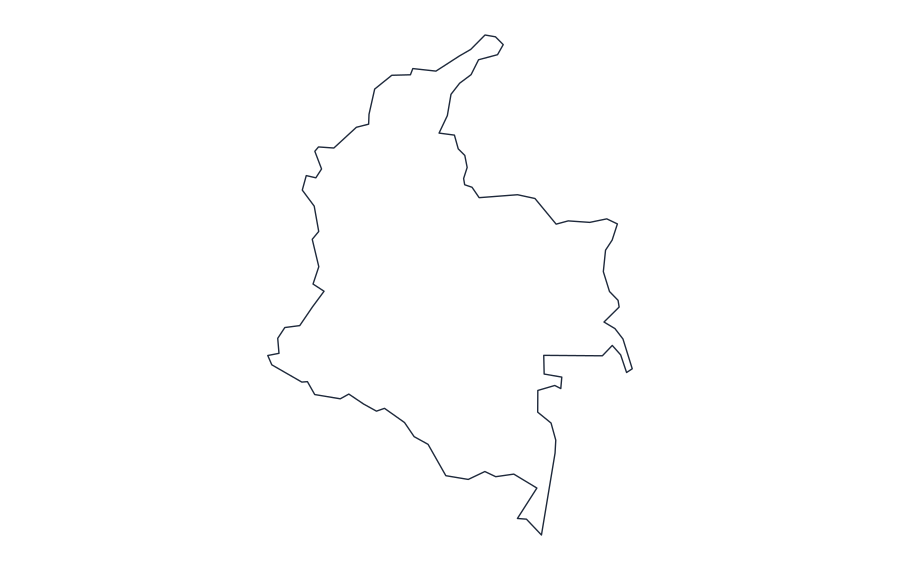 ColombiaOutline · SVG · PNG · Print
 CzechiaOutline · SVG · PNG · Print
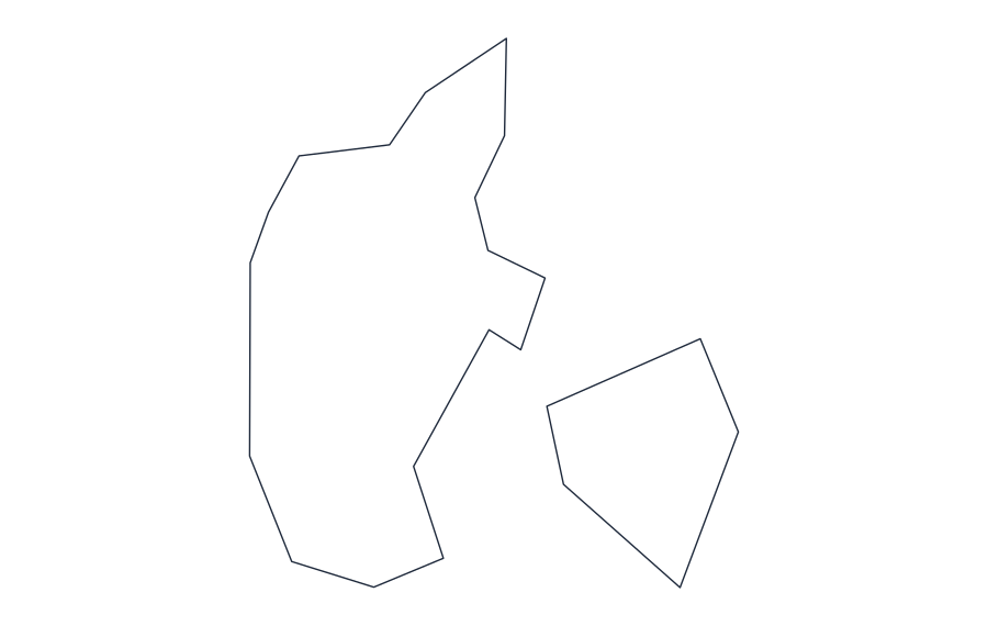 DenmarkOutline · SVG · PNG · Print
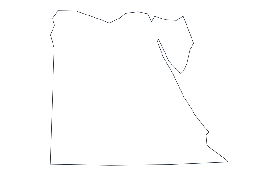 EgyptOutline · SVG · PNG · Print
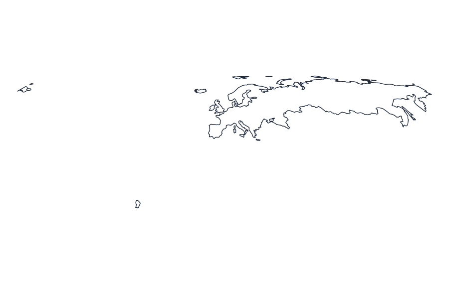 EuropeOutline · SVG · PNG · Print
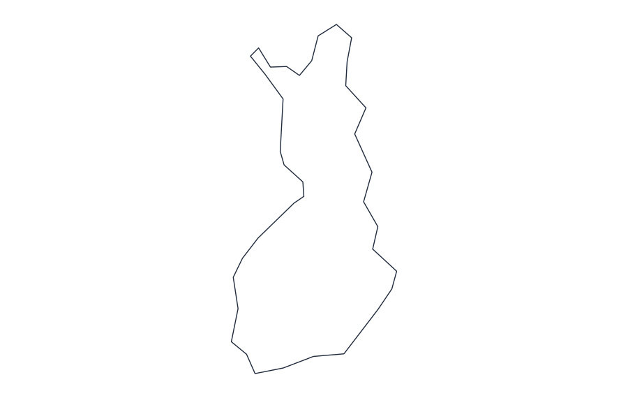 FinlandOutline · SVG · PNG · Print
 FranceOutline · SVG · PNG · Print
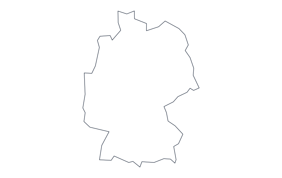 GermanyOutline · SVG · PNG · Print
 GreeceOutline · SVG · PNG · Print
 HungaryOutline · SVG · PNG · Print
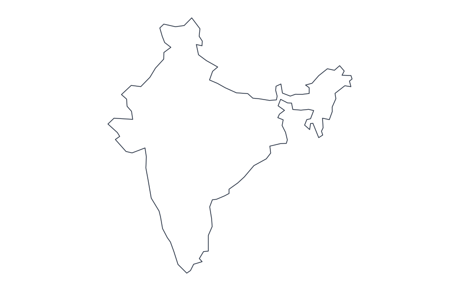 IndiaOutline · SVG · PNG · Print
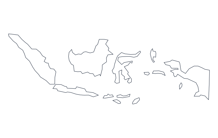 IndonesiaOutline · SVG · PNG · Print
 IranOutline · SVG · PNG · Print
 IraqOutline · SVG · PNG · Print
 IrelandOutline · SVG · PNG · Print
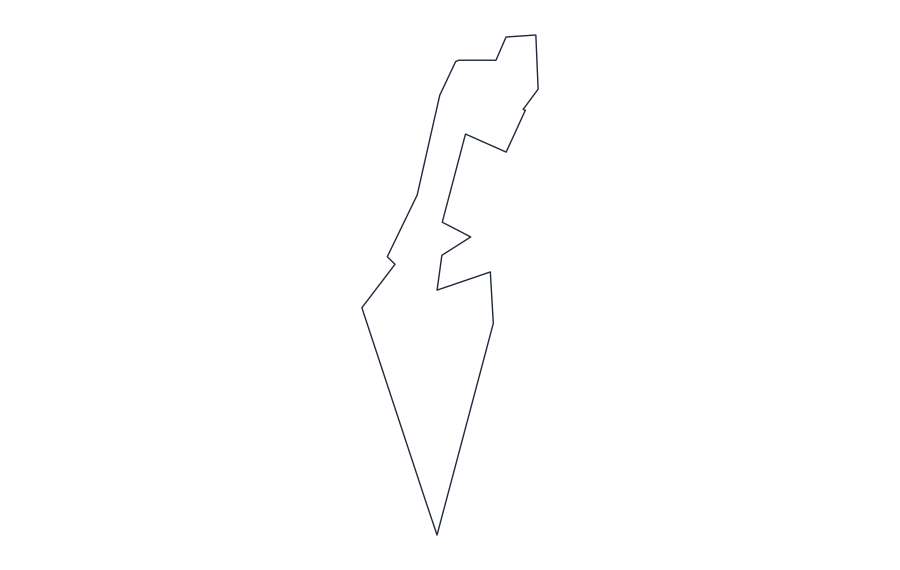 IsraelOutline · SVG · PNG · Print
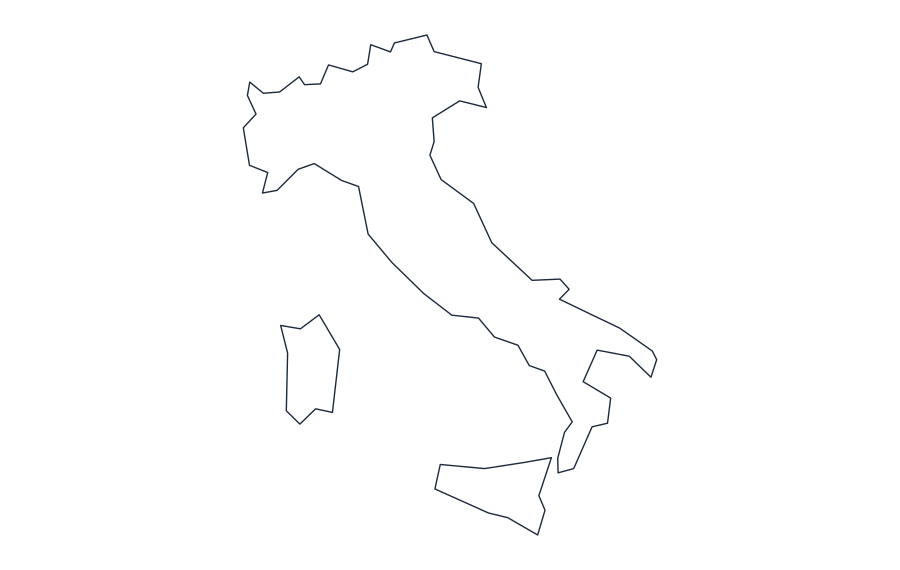 ItalyOutline · SVG · PNG · Print
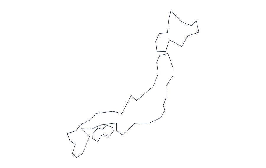 JapanOutline · SVG · PNG · Print
 MalaysiaOutline · SVG · PNG · Print
 MexicoOutline · SVG · PNG · Print
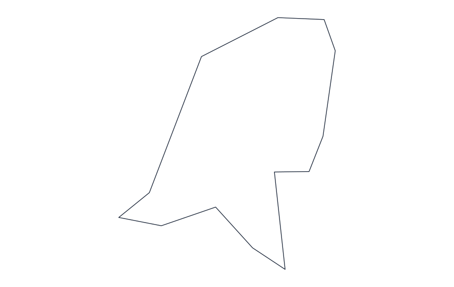 NetherlandsOutline · SVG · PNG · Print
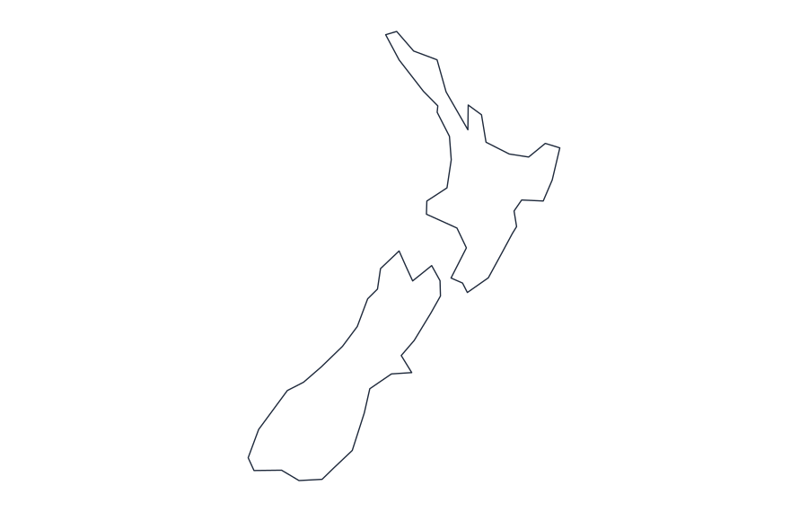 New ZealandOutline · SVG · PNG · Print
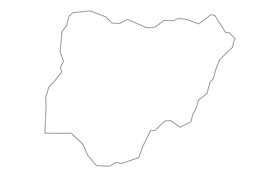 NigeriaOutline · SVG · PNG · Print
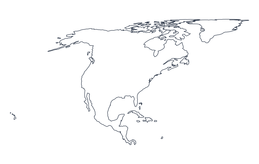 North AmericaOutline · SVG · PNG · Print
 NorwayOutline · SVG · PNG · Print
 OceaniaOutline · SVG · PNG · Print
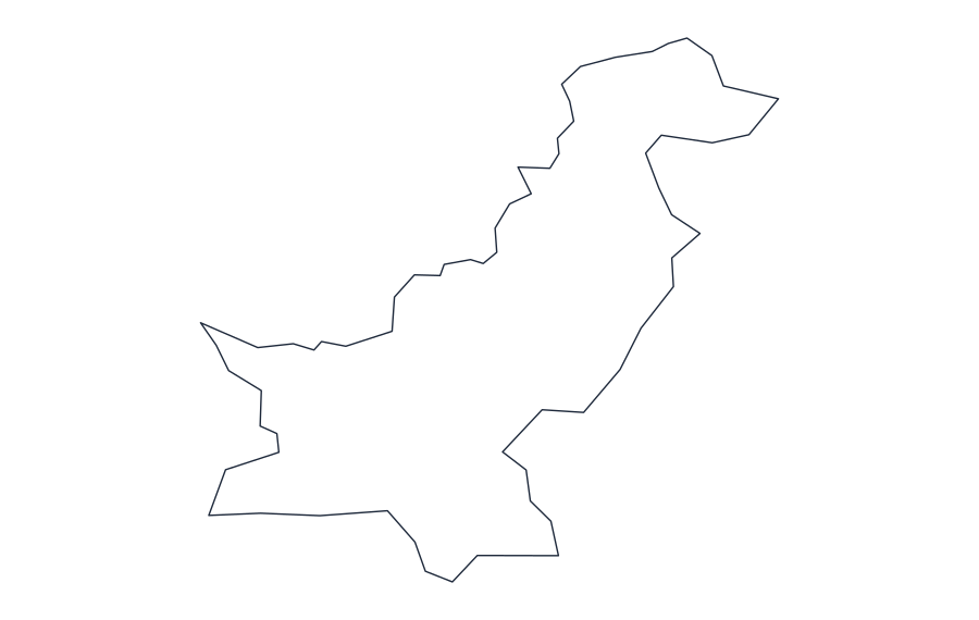 PakistanOutline · SVG · PNG · Print
 PeruOutline · SVG · PNG · Print
 PhilippinesOutline · SVG · PNG · Print
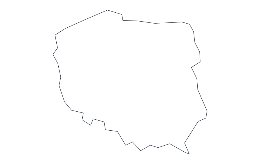 PolandOutline · SVG · PNG · Print
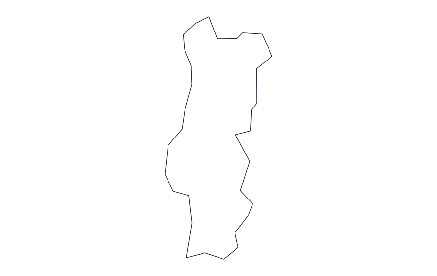 PortugalOutline · SVG · PNG · Print
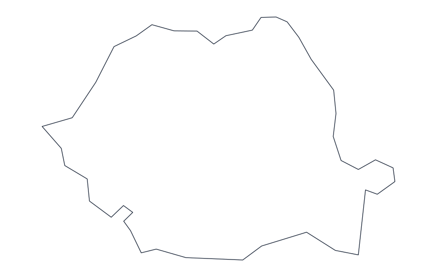 RomaniaOutline · SVG · PNG · Print
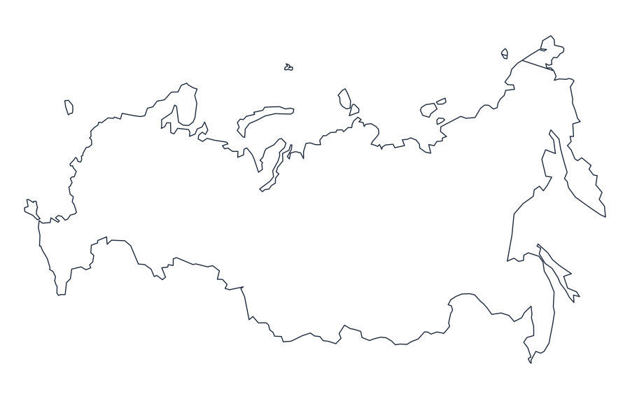 RussiaOutline · SVG · PNG · Print
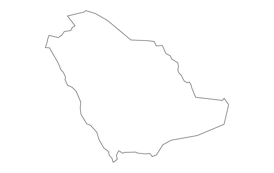 Saudi ArabiaOutline · SVG · PNG · Print
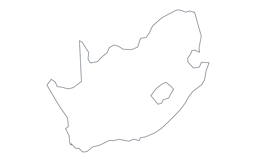 South AfricaOutline · SVG · PNG · Print
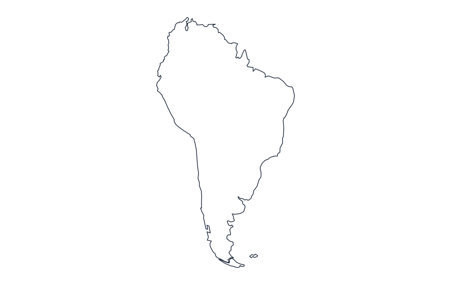 South AmericaOutline · SVG · PNG · Print
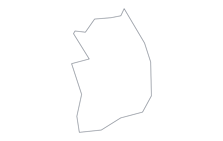 South KoreaOutline · SVG · PNG · Print
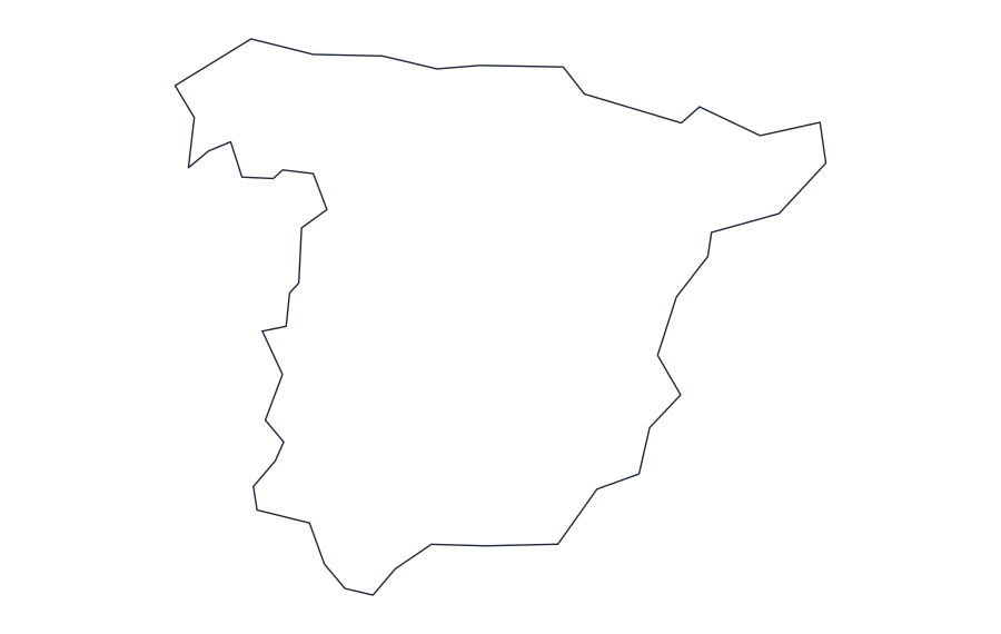 SpainOutline · SVG · PNG · Print
 SwedenOutline · SVG · PNG · Print
 SwitzerlandOutline · SVG · PNG · Print
 ThailandOutline · SVG · PNG · Print
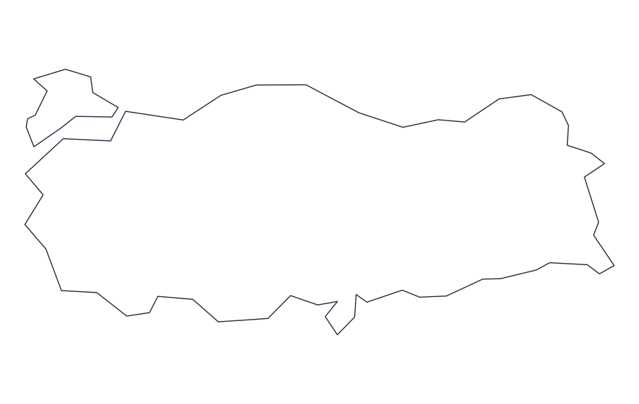 TurkeyOutline · SVG · PNG · Print
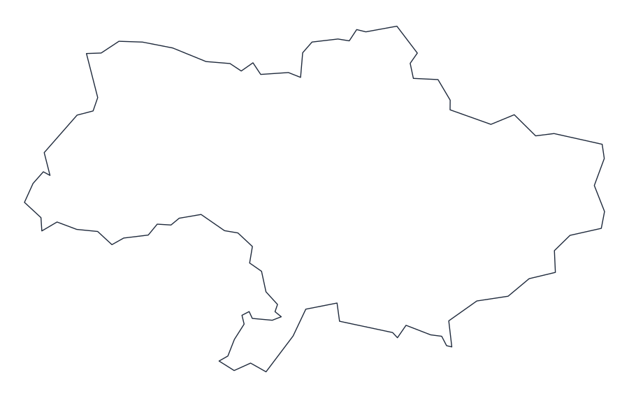 UkraineOutline · SVG · PNG · Print
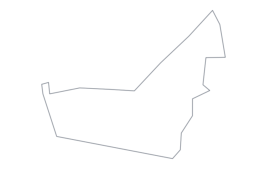 United Arab EmiratesOutline · SVG · PNG · Print
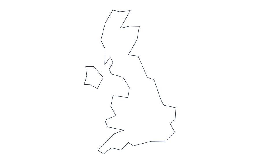 United KingdomOutline · SVG · PNG · Print
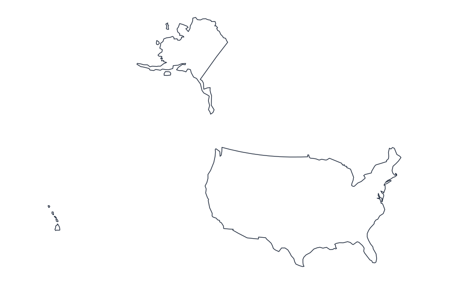 United States of AmericaOutline · SVG · PNG · Print
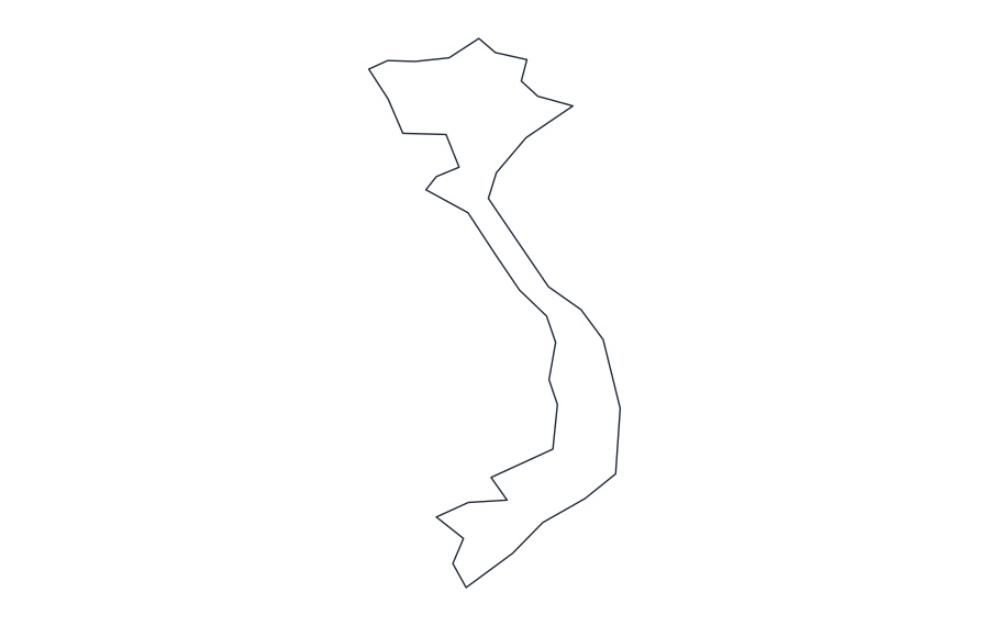 VietnamOutline · SVG · PNG · Print
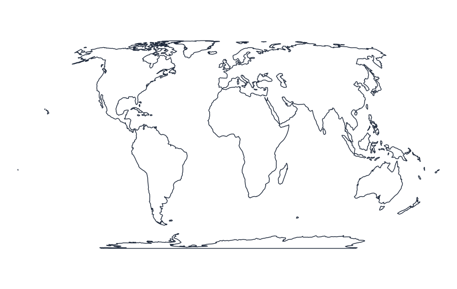 WorldOutline · SVG · PNG · Print
No maps match your search.
58 maps available
About map accuracy and use
These initial outline assets use the Natural Earth low-resolution dataset. Internal political boundaries and small islands may be simplified or missing. They are suitable for many educational layouts, but not legal boundary determinations, navigation or high-detail cartography.
Read map sources and limitations