Blank Map of United States of America
Name Date
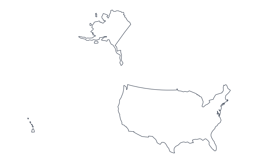
Exercises
- Write the name of the region or state shown and add a map title.
- Draw a compass rose and indicate north on the worksheet.
- Use a trusted current atlas to label three features relevant to this location. Record your atlas edition or website and source date.
- Explain one difference between a simplified outline map and an official geographic or administrative boundary map.
- Does this outline identify every island or administrative subdivision? Explain why small-scale generalized map data may omit details.
Teacher answer and source-check guide
1. United States of America. 2. Check that the compass points are labeled consistently with the map orientation.
3. Answers depend on the chosen current atlas, region and year; compare each label with the stated source. No invented feature locations are provided.
4. A simplified outline can exclude small islands, complex coastlines, internal boundaries and disputed features.
5. No. Coarse-scale geometry intentionally omits detail; administrative boundaries require a different source layer.
Map source: Natural Earth, low-resolution public-domain country boundaries (bundled dataset; vintage not guaranteed current). This is an educational reference, not a navigation chart or legal boundary document.