Blank Map of South Carolina
Name Date
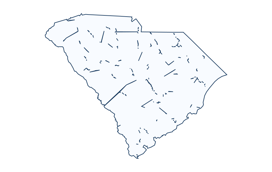
Exercises
- Write the name of the region or state shown and add a map title.
- Draw a compass rose and indicate north on the worksheet.
- Use a trusted current atlas to label three features relevant to this location. Record your atlas edition or website and source date.
- Explain one difference between a simplified outline map and an official geographic or administrative boundary map.
- Check the U.S. Census current county-equivalent list for South Carolina. Why might its count differ from an older historical county outline?
Teacher answer and source-check guide
1. South Carolina. 2. Check that the compass points are labeled consistently with the map orientation.
3. Answers depend on the chosen current atlas, region and year; compare each label with the stated source. No invented feature locations are provided.
4. A simplified outline can exclude small islands, complex coastlines, internal boundaries and disputed features.
5. County-equivalent definitions and boundaries can change by dataset vintage. Check the U.S. Census 2025 Gazetteer or a more recent official release before scoring county counts.
Map source: Legacy Basemap UScounties boundaries, source vintage NOT VERIFIED. This is an educational reference, not a navigation chart or legal boundary document.